Research published by the Webber Energy Group at the University of Texas at Austin and nonprofit group The Ray has led to a partnership with geographic information system (GIS) mapping company Esri to create a highway right-of-way (ROW) solar evaluation tool.
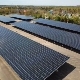
The study found that installing solar panels at highway exits could generate up to 36 TWh per year. That is enough to power 12 million passenger electric vehicles, and has an estimated value of energy of $4 billion per year, said Esri.
Installing solar arrays at interchanges, exits, rest areas, visitor centers, which are maintained by state governments, can be challenging due to safety, environmental, and future land-use concerns. To address this, The Ray partnered with Esri to configure a solar mapping tool that analyzes how suitable and economically valuable a given ROW location might be.
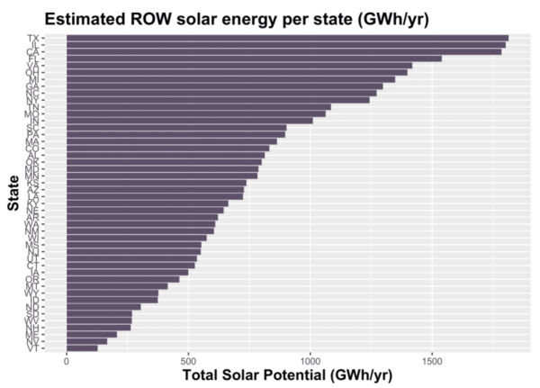
The tool uses Esri’s ArcGIS software suite, and includes 3D modeling, solar radiation calculations based of elevation and surface, and viewshed analysis. The tool reduces what used to be a weeks- or months-long process into a fraction of the time, and does it more precisely.
The Ray has a solar test bed west of Georgia’s I-85, which the group said functions as a proving ground for solar, EV charging, and smart landscape architecture. The Ray now works in 15 states and over two dozen transportation agencies to replicate the results of the Georgia test bed.
(Read: “Solar in uncommon spaces”)
In addition to modeling the value of the solar array, the Esri model enables department of transportation developers to anticipate unintended consequences, such as the interruption of a scenic viewshed. It allows for preliminary site planning exercises, including altering shape, size, and scope of the project to evaluate different levels of impact to the surrounding community.
GIS continues to play a growing role in solar development. Some providers offer free, open-source resources , as well.
This content is protected by copyright and may not be reused. If you want to cooperate with us and would like to reuse some of our content, please contact: editors@pv-magazine.com.
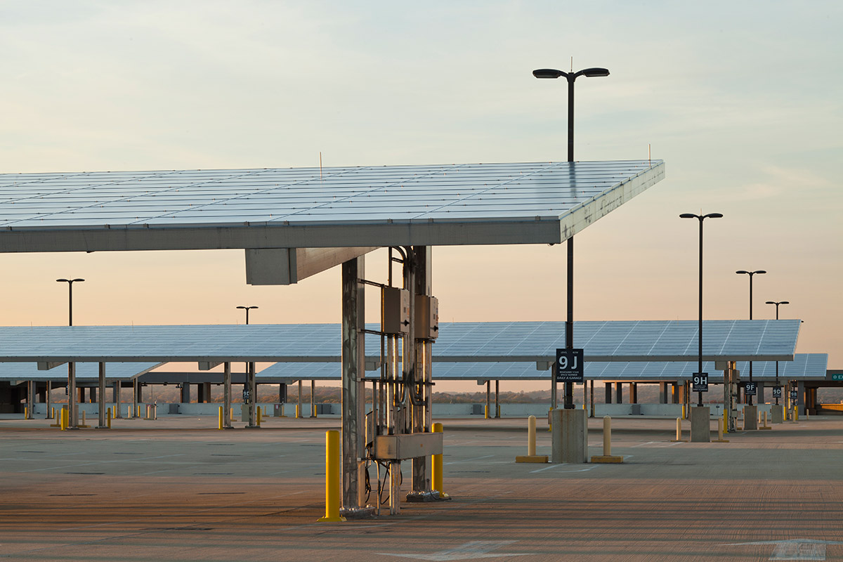




There is so much publicly owned land available in medians, interchanges and rest areas that could be used for solar installations, feeding storage/charging centers at interchanges and rest areas, connected to the grid for shortfalls if needed and callable by the grid if needed. Revenues from charging stations would pay for installations so no public funds needed, just approvals.
I’ll say it again: The former Nevada Nuclear Test site has MANY thousands of sun-drenched & access controlled (slightly contaminated) land available. Perfect for Electrical (or Electrical-H2) production.
Solar canopy over the interstates can prevent salt from running into the Great Lakes. How much money is used to plow and salt the roads? Plus you still have bad road conditions when the snow is falling.