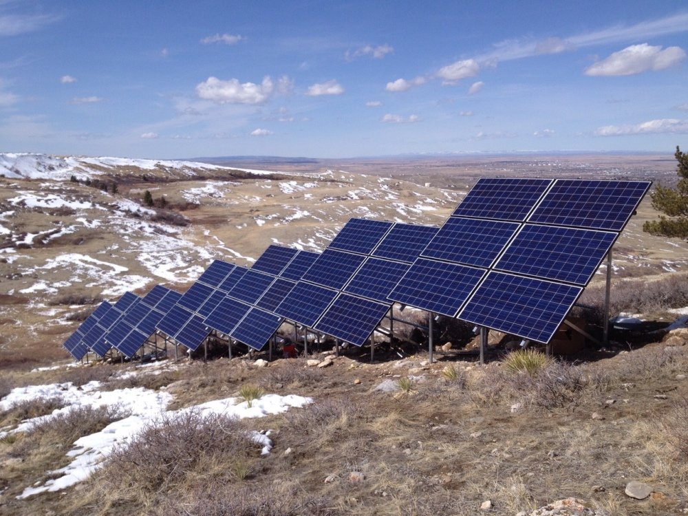
Ranking tenth in size and 50th in population, Wyoming is known for its wide open, unspoiled spaces. However, it is not known as a leader in renewable energy. With just 143 MW installed, it is currently ranked 42nd in the United States for solar installation, receiving 0.46% of its electricity from solar, according to the Solar Energy Industries Association (SEIA).
In the interest of preserving those unspoiled lands, The Nature Conservancy (TNC) has developed a Brightfields Energy Siting Initiative (BESI) tool specifically for Wyoming, with the intention of guiding new energy development to previously disturbed areas or “brownfields”. By siting solar and wind on land once used for fossil fuel development, The goal of the initiative is for Wyoming to diversify its energy mix without compromising the state’s iconic wildlife and natural areas.
The BESI tool identifies areas where new energy development is unlikely to encounter significant land use conflicts, permitting delays and cost overruns. It can locate sensitive places to avoid as well as provide information down to an individual project site. For example, it can determine if a potential site would risk conflict with a known mule deer migration route, a location with an abundance of cultural resources nearby or a golden eagle nesting area. It can look at habitat and can flag it as a site that would be better for restoration rather than the site of a new energy facility.
“In addition to spots to avoid, the BESI tool searches for sites that are good places to build new facilities – specifically, land that has already been disturbed by industrial development. More than 500,000 acres of these types of sites are highlighted on the map,” said Justin Loyka, TNC in Wyoming energy programs manager. “That is an important added benefit especially for officials making land use decisions at the state and county level.”
While the growth projection for solar in Wyoming is only 105 MW over the next five years (for a rank of 50th in the country), using the BESI tool to avoid siting renewables in sensitive areas could stimulate additional renewable development. The US Environmental Protection Agency (EPA) estimates that more than 43 million acres of brownfields and former mine lands in the US could be suitable for energy siting, and that these lands could supply about three times the expected US energy demand in 2050.
Access the BESI map tool here.
This content is protected by copyright and may not be reused. If you want to cooperate with us and would like to reuse some of our content, please contact: editors@pv-magazine.com.


Great idea for long term use of areas that have be degraded by mining operations in the past. Coal fields in Wyoming, gold fields in California, Nevada, South Dekota and Alaska plus iron ore pits that have long been shut down. Reclamation could be funded by profits from the solar or even wind power placed in these locations.