A team used geospatial analysis to identify optimal sites for solar in a Maryland county. The approach could help other communities as they consider where to site new solar capacity.
Chesapeake Conservancy’s Conservation Innovation Center (CIC) presented its report to the St. Mary’s County Solar Task Force. The county sits due south of Washington, D.C., on a peninsula bounded on one side by the Potomac River and on the other by the Chesapeake Bay.
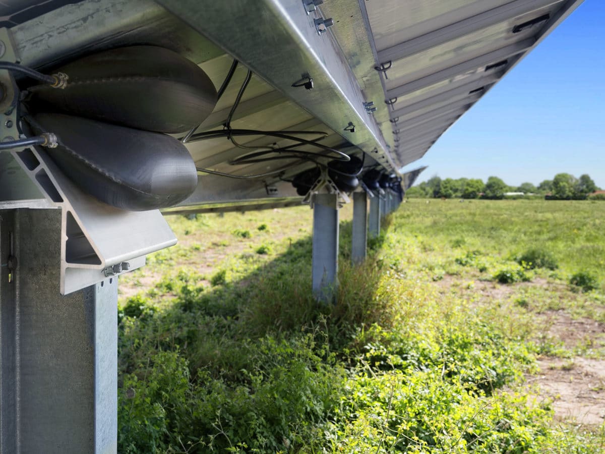
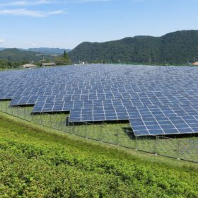
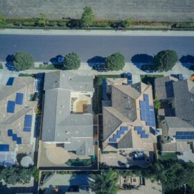
The analysis results showed that the county offers multiple opportunities for solar in locations that would minimally impact the natural landscape or prime agricultural land. Sites included rooftops of commercial and residential buildings, above parking lots as solar canopies, on capped landfills, around a wastewater treatment facility, and on county-owned properties.
High-resolution land cover data allowed the study group to do a detailed analysis down to individual parcels in order to determine how much area is available in optimal and preferred sites. The team also calculated the energy generation potential from these locations.
The study set out to identify all potential solar sites, including those that met legal (zoning) and technical criteria. It ranked county parcels on a range of environmental, equity, and efficiency criteria. It also identified a second tier of locations–preferred ground-mounted sites–that would avoid land-use tradeoffs and conflicts with agriculture or environmentally valuable lands.
These sites met the following criteria: they had less than 50% total tree canopy in the parcel, had more than 5 acres of “Solar Opportunity Area” (defined as a sum of low vegetation, barren, and herbaceous high-resolution land cover classes), had less than 50% prime agricultural soil, had less than 75% soil of statewide importance, and were not in a designated no-go zone (defined as protected, or legally restricted, areas) or within a designated Intensely Developed Area of the critical area.
Sites that were within a mile of an existing transmission line were defined as “preferred;” sites that met the criteria but were farther away were tagged as “other opportunities.”
Based on the analysis, St. Mary’s County has the potential to generate 4,097 GWh/yr of electricity from solar energy from 4,431 acres of optimal sites such as degraded lands and landfills, rooftops, parking lot canopies, and publicly owned lands. Another 4,026 GWh/yr of potential was available from 2,614 acres of preferred ground-mounted sites less than one mile from transmission lines. The report said these numbers “well exceed” the 331 GWh/yr estimate for St. Mary’s share of solar compared to the rest of the state.
Maryland is one of 30 states with a Renewable Portfolio Standard. Maryland’s mandate requires 50% of electricity sold by utilities to come from renewable sources, with 14.5% from solar. The Southern Maryland Electric Cooperative (SMECO) that serves St. Mary’s County is excluded from the 14.5% carve-out, and instead is required to reach a solar carve-out of 2.5% of retail sales. Even so, the report said that land in the county still could be used for solar installations to meet statewide goals.
The results are displayed in a web app that is open to the public. The full report is available here.
This content is protected by copyright and may not be reused. If you want to cooperate with us and would like to reuse some of our content, please contact: editors@pv-magazine.com.


By submitting this form you agree to pv magazine using your data for the purposes of publishing your comment.
Your personal data will only be disclosed or otherwise transmitted to third parties for the purposes of spam filtering or if this is necessary for technical maintenance of the website. Any other transfer to third parties will not take place unless this is justified on the basis of applicable data protection regulations or if pv magazine is legally obliged to do so.
You may revoke this consent at any time with effect for the future, in which case your personal data will be deleted immediately. Otherwise, your data will be deleted if pv magazine has processed your request or the purpose of data storage is fulfilled.
Further information on data privacy can be found in our Data Protection Policy.